
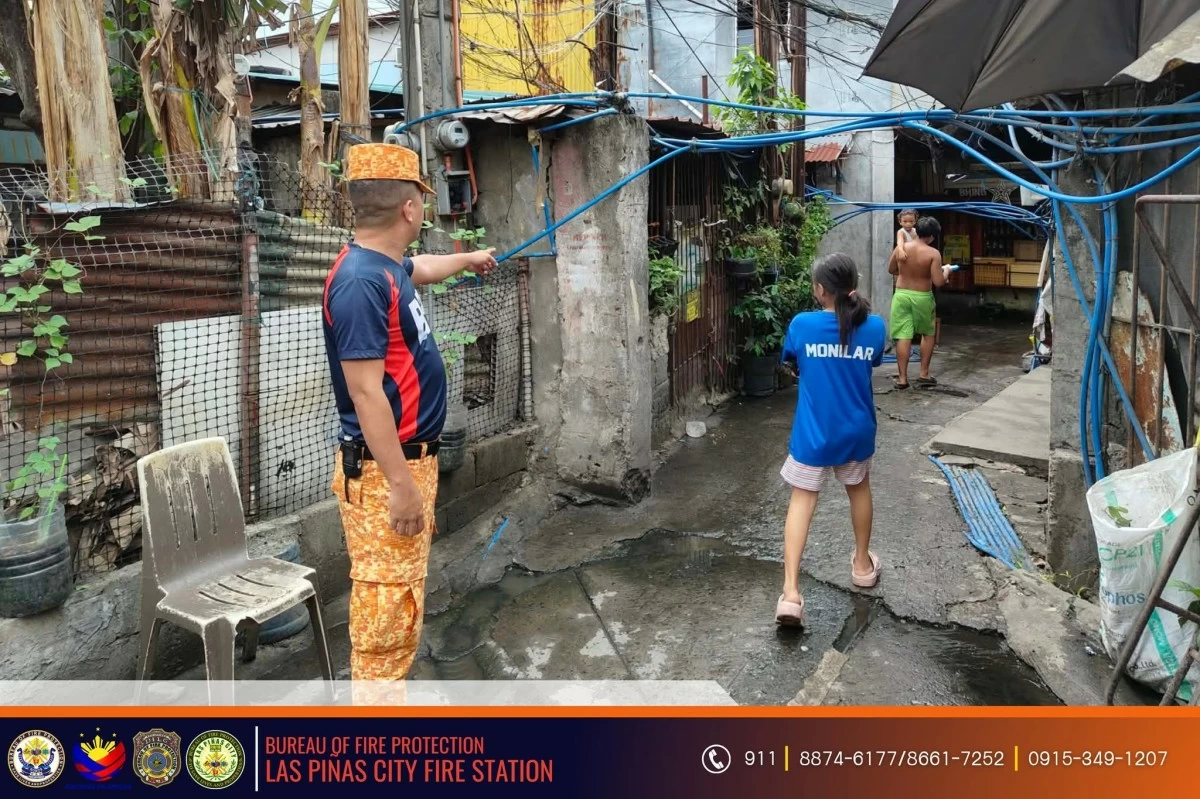
The Las Piñas City Bureau of Fire Protection (BFP) has intensified its efforts to safeguard communities from fires and other emergencies through a comprehensive hazard-mapping initiative across several areas of the city. Under the leadership of Fire Superintendent Sonny A. Cario, city fire marshal, BFP personnel conducted hazard-mapping activities in BF Martinville, Manuyo Dos, Gloria Compound, Sampaguita Compound, and Pilar. According to the BFP, the initiative aims to identify areas vulnerable to fires and other hazards, enabling authorities to develop more effective emergency preparedness measures, response plans, and risk-reduction strategies. The hazard-mapping activity involves gathering critical information on hazard-prone locations, access routes, population density, and other factors that may affect emergency response operations. The collected data will serve as a vital reference in enhancing disaster preparedness programs and strengthening the protection of lives, properties, and the environment. Fire officials emphasized that the initiative also seeks to raise public awareness about potential risks within communities and encourage residents to actively participate in fire prevention and safety efforts. The BFP noted that hazard mapping is an essential component of disaster risk reduction, as it allows responders to identify vulnerable areas and improve emergency planning. The bureau added that continuous monitoring and assessment of hazard-prone communities reinforce its commitment to building safer and more resilient neighborhoods through prevention, preparedness, and public awareness. Proactive measures such as hazard mapping, the BFP stressed, play a crucial role in minimizing the impact of disasters and ensuring faster, more coordinated emergency responses during critical situations.
Las Piñas BFP steps up hazard mapping for safer communities
Source: Manila Bulletin
Read Full Story →

